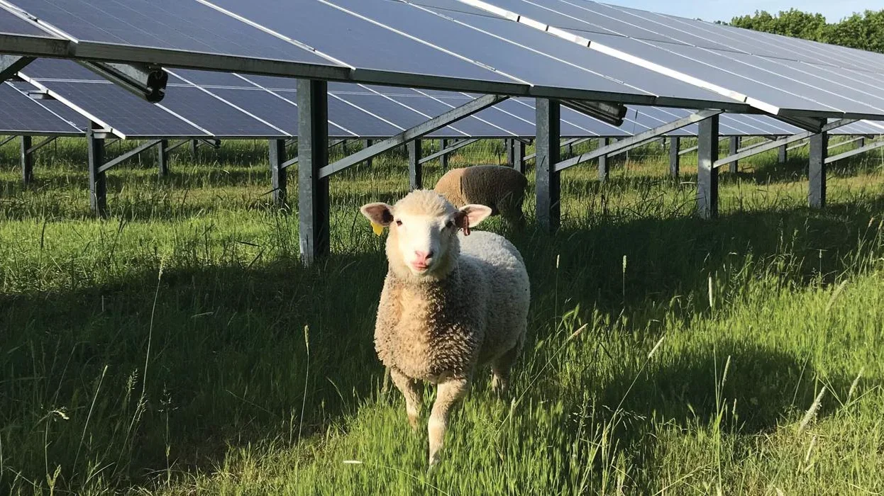
Farm Solar Fit (FSF) is a farmer centered decision platform being developed by Electra in partnership with Dr. Chad Higgins and OSU to help farmers and ranchers evaluate solar and agrivoltaics (AV) opportunities. The broader platform translates OSU AV research on water use, soil moisture, microclimate, and crop response into practical, site-specific guidance, combined with whole-farm economics and location-specific data.
FSF FieldWalk asks a student team to invent a new kind of farm intake. Instead of requiring a farmer or trained advisor to sit at a computer and translate years of practical knowledge into forms, the farmer walks the property with a phone and talks naturally about the operation. The experience captures speech, GPS location and walking path, photos, and marked locations, then uses AI to turn those observations into a draft spatial farm profile the farmer can review, correct, and confirm.
This Capstone project focuses on the farmer experience and data capture layer. Students would not be responsible for rebuilding the underlying AV science or the complete FSF decision platform.
Public data can tell us about soils, solar resource, weather, elevation, crop history, or electricity rates. It cannot tell us that the combine enters through a particular gate, a field stays wet until June, a sprayer is fourteen feet tall, livestock move through a particular corridor, or a certain area is operationally critical.
The farmer already knows these things, but conventional intake requires the farmer to stop, remember, and type that knowledge into a form. The design challenge is to meet the farmer on the farm, where that knowledge is easiest to explain.
The objective of Farm Solar Fit FieldWalk is to design, build, and evaluate a proof of concept that allows a farmer or agricultural advisor to capture important knowledge about a farming operation while walking the property, then use AI and geospatial context to turn that experience into a structured draft farm profile. The project will focus on five objectives:
Create a guided mobile FieldWalk experience that captures voice observations, GPS location and walking path, photos, and marked locations while a farmer or advisor moves through the farm. The experience should account for real field conditions, including limited connectivity and noisy outdoor environments.
Translate natural conversation into structured farm information by converting speech to text and using AI to map relevant observations into defined Farm Solar Fit intake fields, such as fields and acreage, crops or enterprises, irrigation, equipment dimensions, energy loads, access routes, and operational constraints.
Preserve spatial context and provenance so that captured information can be associated with where and when it was observed or discussed, helping the resulting profile reflect how the farm actually operates rather than simply producing a list of answers.
4.Keep the farmer in control of AI generated information by presenting extracted values as suggestions that can be reviewed, corrected, rejected, or confirmed before becoming part of the farm profile.
If time and team interest allow, the project may also explore augmented reality visualization as a stretch objective, allowing a farmer standing in a candidate field to view a conceptual AV configuration such as panel rows, approximate spacing, height, equipment clearance, or access corridors.
John Sherwin: john@goelectra.io
This project requires an NDA or IP agreement.
The company will send students an NDA to sign at the beginning of the project.